
Asia’s Icon Awards · 2024
Innovative Drone Manufacturer
Certificate of recognition presented to Neel Sagar, Alfa Drones Technology, in the Innovative Drone Manufacturer category.
An enterprise aircraft flies a planned corridor. Every frame is georeferenced the moment it is captured.
Millions of LiDAR and photogrammetric points resolve the terrain to survey-grade accuracy.
Towers, conductors, roads and solar plants are classified, measured and checked for thermal anomalies.
The survey continues under the waterline — bathymetry, seabed morphology and reef health.
Autonomous platforms, computer vision and aerospace research extend the same capability further.
ALFA DRONES develops and deploys advanced intelligence systems across aerial, terrestrial, marine and digital environments.
Technology ecosystem
Each division owns a domain — air, land, water, structure, model, machine, mind. They share the same sensors, the same coordinate framework and the same processing pipeline, so a single site can be understood from every direction at once.
In plain english
Strip away the terminology and the work is simple: we fly instruments over a place, turn what they record into accurate measurements, and hand you something you can make a decision from. Here is the whole process in four steps.
A crew visits your site with drones and survey instruments. We put fixed reference points on the ground first, so everything we record afterwards can be tied to a real position on the earth.
The drone flies a planned pattern and its sensors record the ground: ordinary photographs, laser scans that see through trees, or heat cameras that show which equipment is running hot.
Back in the office the raw recordings are processed into a measurable model of the site — a sharp aerial map, a 3D model, ground heights, or a list of faults with their exact locations.
You receive files your engineers or department can open and act on, with a written statement of how accurate they are. If you would rather own the equipment, we also sell and set up the drones.
Government departments, power and water utilities, construction and mining firms, farms, and research programmes. If it is large, outdoors and needs measuring, it is our work.
Maps, 3D models, ground levels, fault lists and reports — in the file formats your team already uses. Nothing you need special software to open unless you ask for it.
It is faster than walking a site, safer than climbing a tower or a turbine, and it records the whole area rather than a handful of spot checks. You get more coverage, in less time, with nobody at height.
DJI Enterprise Store
We are an authorised DJI dealer and we have delivered over a thousand enterprise aircraft. Every platform below is one our own crews fly on live survey and inspection contracts — so the advice you get is from flight hours, not a catalogue. Configure a platform, add it to a quote, and we come back with pricing, payload options and training.
What comes with the aircraft
Browse the full DJI Enterprise range on dji.com →
Specifications shown are DJI's published figures for each platform and are given for comparison. Final configuration, pricing and lead time are confirmed on quotation. Availability varies by region and regulatory approval.
Operating record
Founded in Bengaluru in 2018. Survey, inspection and enterprise drone supply across five countries. Select a country to see the record for that programme.
Enterprise drone systems and aerial intelligence. We specify, supply and operate professional aircraft and sensor payloads — then take responsibility for what comes off them. Aircraft are a means of carrying instruments to a place; the deliverable is measurement.
RTK multirotor and enterprise airframes, mission-planned per site.
LiDAR, thermal, multispectral, high-resolution optical.
Flight, calibration, georeferencing and QC.
Point clouds, orthomosaics, elevation models.
Decisions an engineer can sign off on.
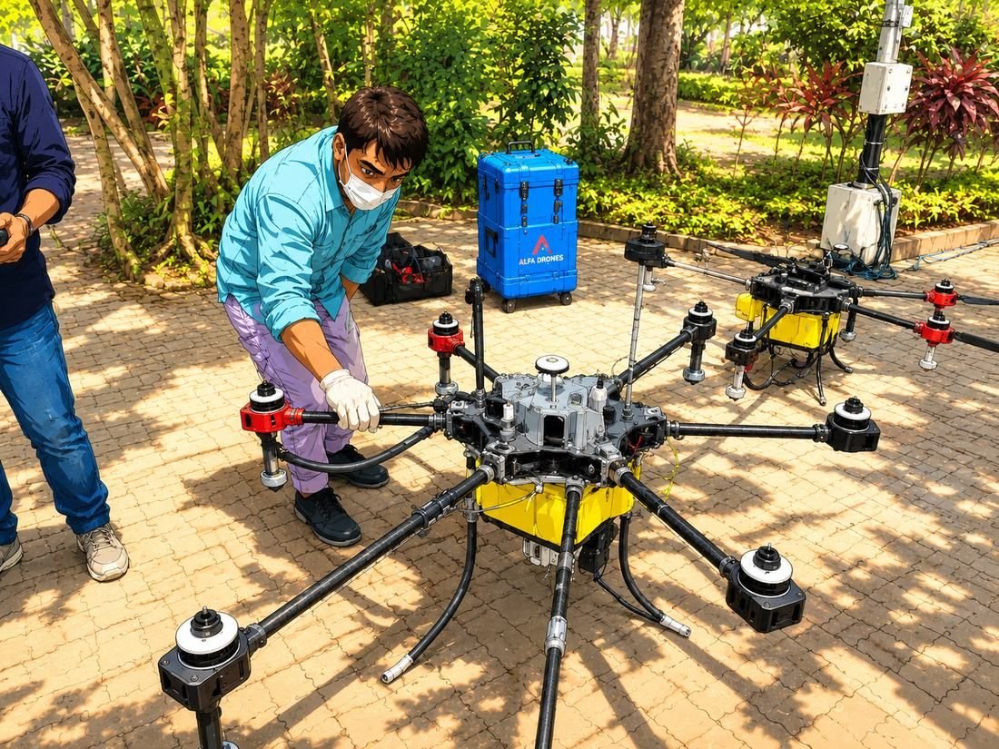
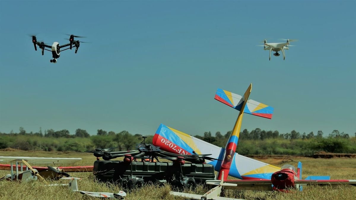
Core capabilities
Enterprise programmes only. We configure aircraft, payloads and ground control as a working system — including calibration, data pipeline and operator training — rather than selling hardware over a counter.
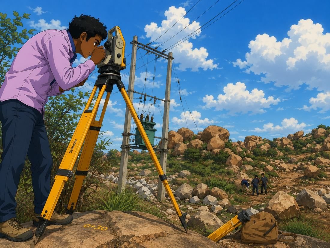
Mapping the physical world digitally. Ground control, GNSS observation and aerial capture are combined into one adjusted network, so the map holds its accuracy from the first control point to the final contour.
 Ground truth
Point cloud
Ground truth
Point cloud
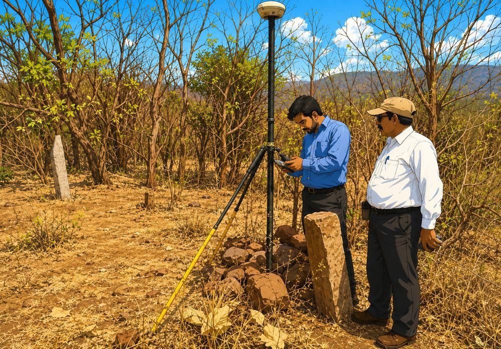

Site recce, control network, flight plan.
Aerial, terrestrial and GNSS observation.
Adjustment, classification, accuracy report.
DEM, DTM, contours, orthomosaic, CAD.
Volumes, clearances, change, decisions.
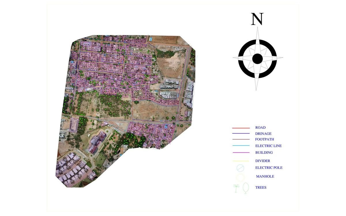
Roads, drainage, footpaths, electric lines, buildings, poles, manholes and trees digitised over the orthomosaic and issued as layered CAD.
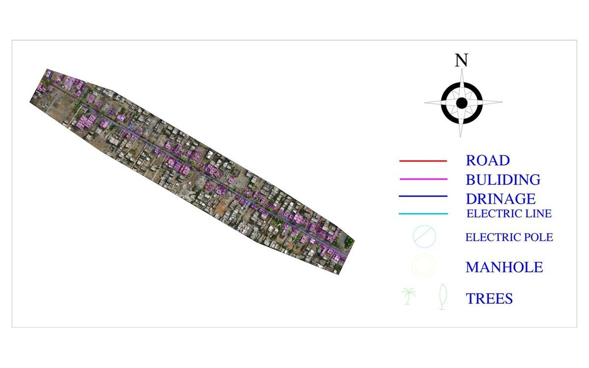
A road corridor captured and digitised as a continuous strip — carriageway, buildings, drainage and electric line in separate layers.
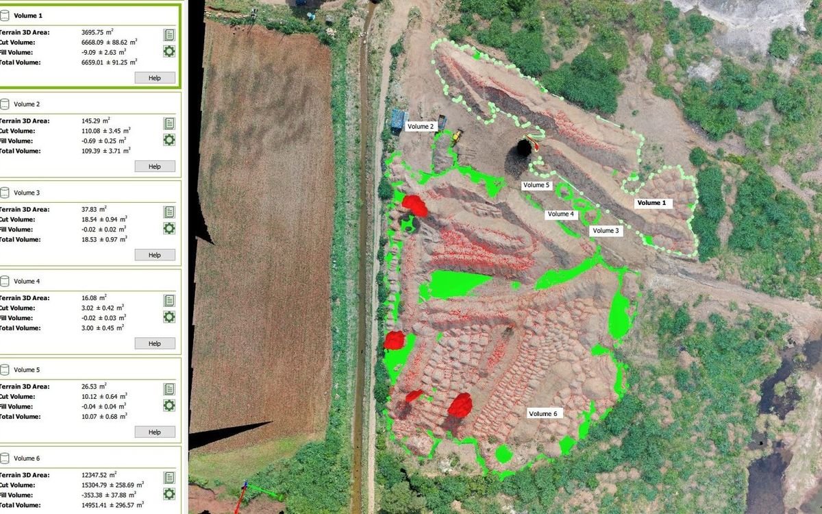
Six volumes computed over a quarry face from the survey surface, each reported with terrain area, cut, fill and an error margin.
Reality capture turns an asset into a measurable model. Once a site exists as a twin, distance, volume, clearance and change stop being site visits and become queries.
Capabilities
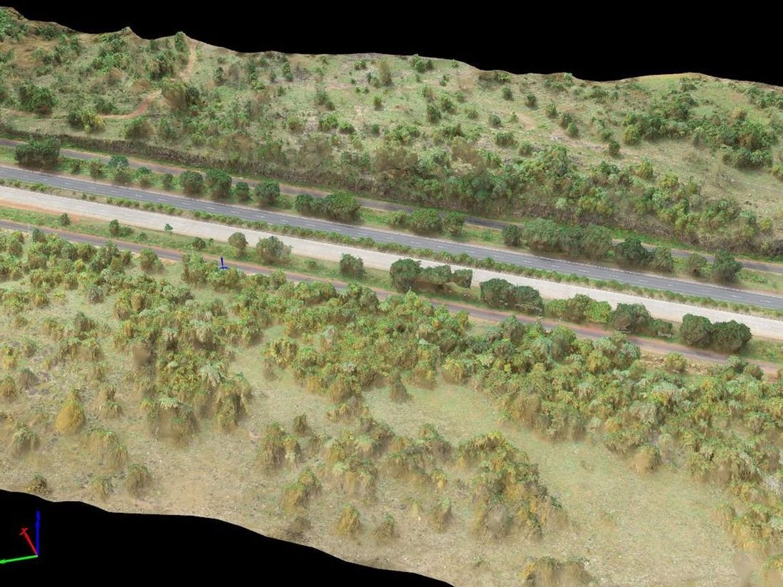
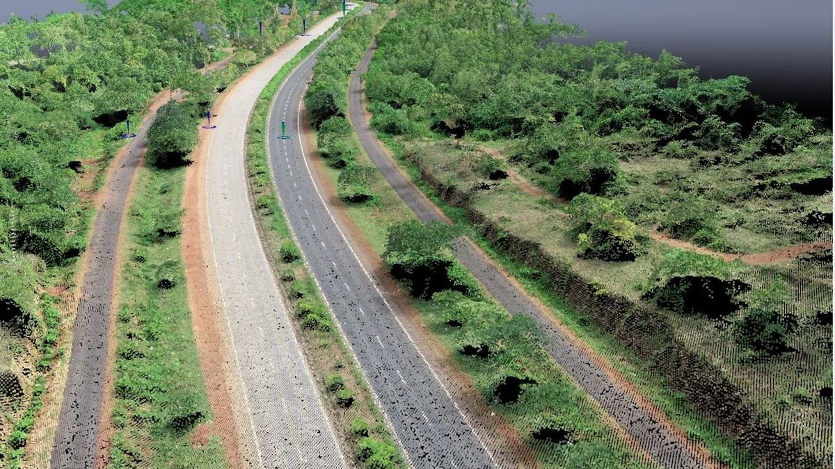
The same corridor as a textured 3D surface — terrain, embankment and roadside vegetation measured rather than sketched.

Camera positions along the corridor with the reconstructed extent beneath — the record of how the model was actually flown.
Ocean intelligence and underwater exploration. The waterline is a sensor change, not a boundary — GNSS and echo sounding carry the same coordinate framework from the shore to the seabed.
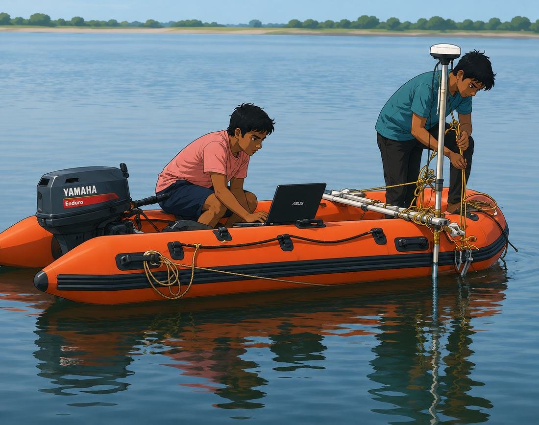
From the sky to the seafloor, we capture intelligence everywhere.
International project
A coastal programme combining shallow-water bathymetry, reef habitat mapping and repeat monitoring of restoration sites. Aerial capture defines the coastline and shallow substrate; vessel-borne echo sounding carries depth into the channel; underwater imagery and photogrammetry document reef structure so recovery can be measured, not estimated.
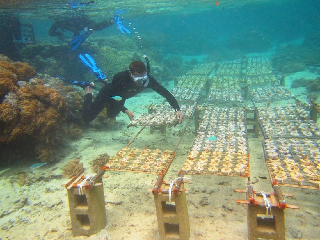
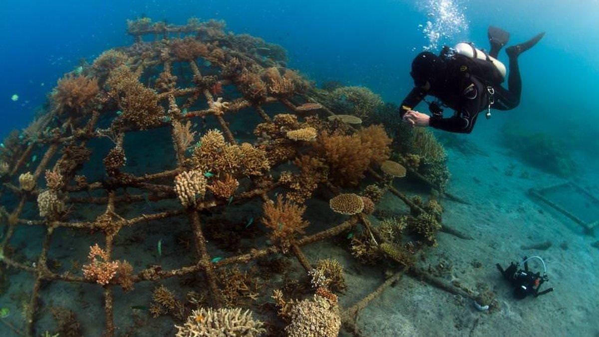
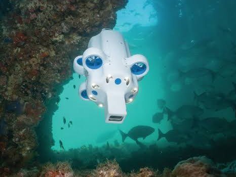
Remotely operated vehicles reach structures and depths a diver cannot safely work, and hold station for repeatable imaging.

Autonomous vehicles fly pre-planned underwater transects, extending the same coordinate framework from the surface down.
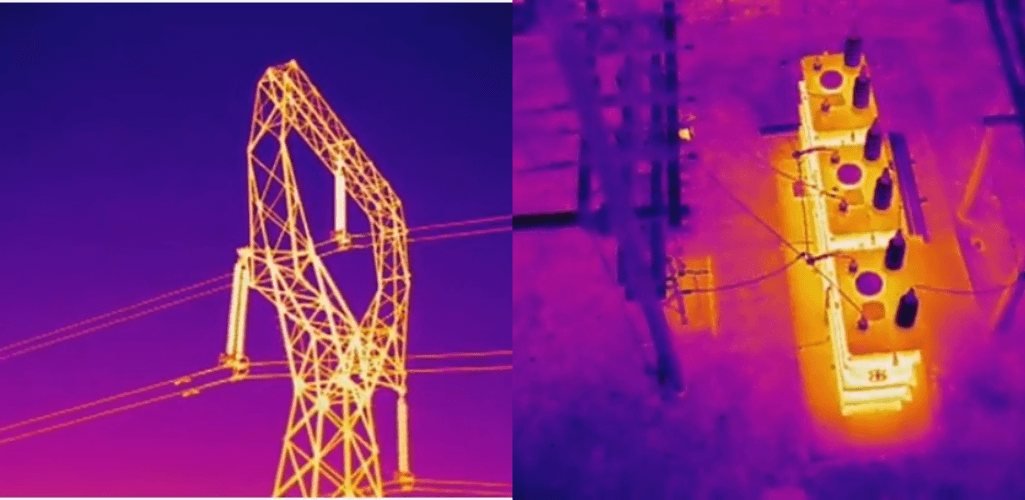 Tower · normal 41°C
Anomaly · joint 68°C
Critical · bushing 121°C
Transformer · normal
Tower · normal 41°C
Anomaly · joint 68°C
Critical · bushing 121°C
Transformer · normal
Intelligent infrastructure monitoring. Radiometric thermal and high-zoom optical capture are flown to a repeatable plan, then read against the previous epoch — so a rising joint temperature is caught as a trend rather than a failure.
Thermal inspection
Powerline inspection
Infrastructure inspection
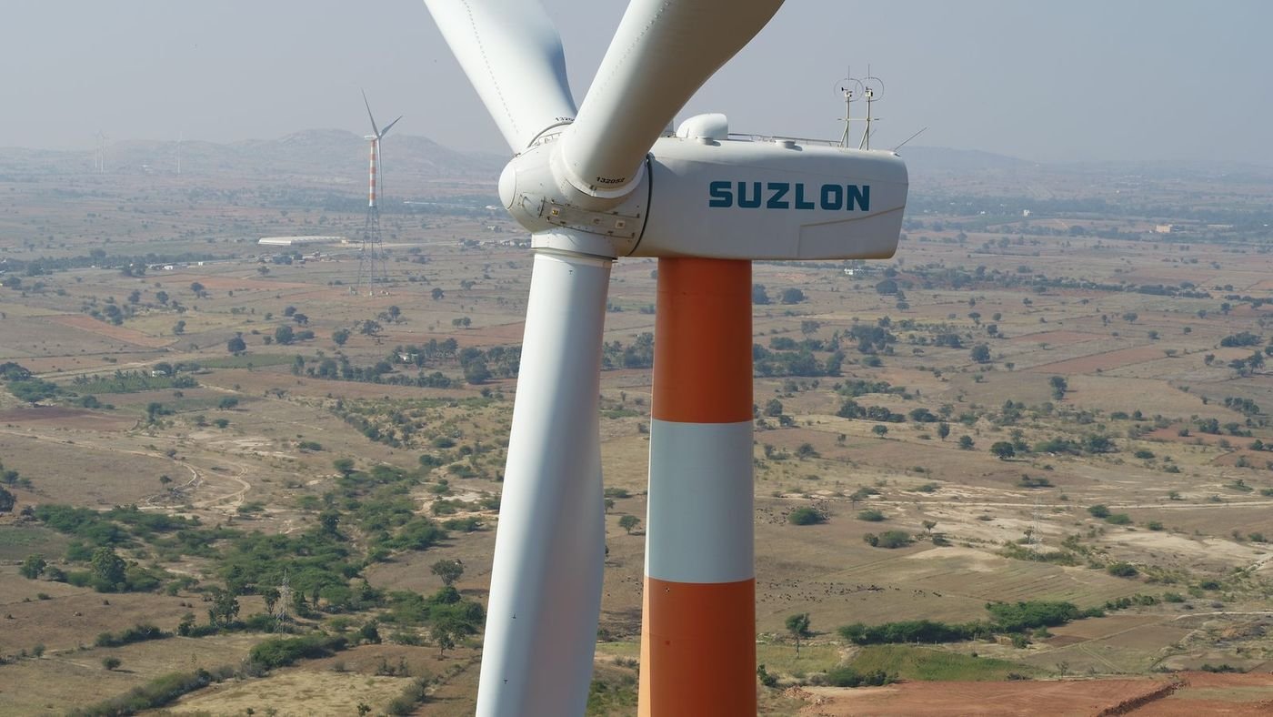
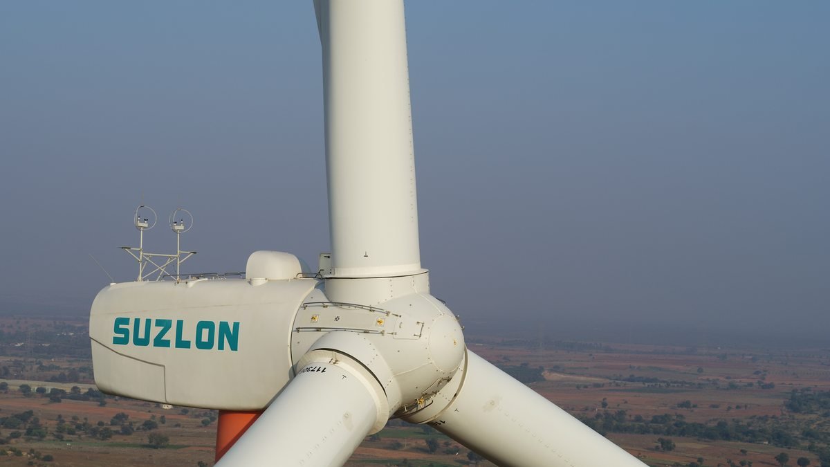
Nacelle housing, met mast instruments and rotor hub captured at working height without a rope team or crane.
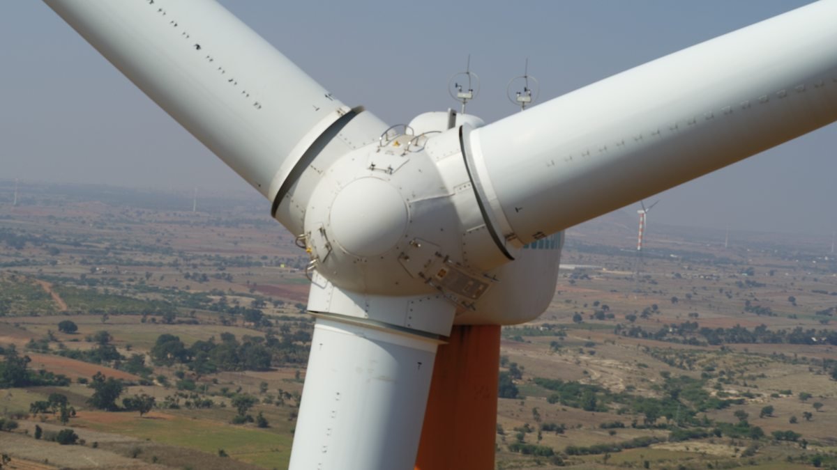
Blade root fixings and hub surfaces imaged from above, the positions that are hardest to reach from the tower.
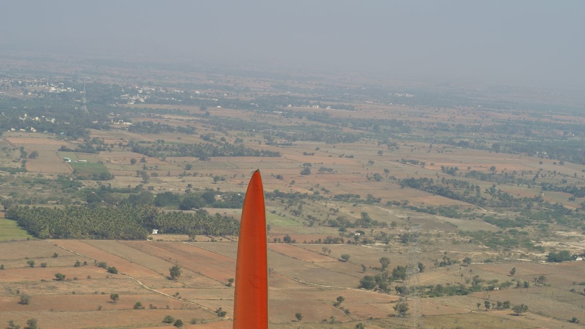
Blade tip inspected against open ground, the standard station for leading-edge erosion and lightning-receptor checks.
Divisions 06 · 07 and forward
These divisions are in active development. We describe them as a direction of engineering work, with capability published as it is proven in the field.
Data is everywhere. Intelligence is what we create from it.
Machines that go where inspection is slow, costly or unsafe.
Research into longer endurance, higher autonomy and better sensing.
Situational awareness and geospatial intelligence for regulated users.
Advanced Systems capabilities are offered only where lawful, and are subject to applicable national regulations, export controls and government approvals. Aerospace and robotics work is presented as a development direction — we publish capability once it is demonstrated.
Government & enterprise
Public infrastructure work is audited work. Every deliverable leaves our office with its control network, accuracy statement and processing record attached, in the formats the receiving department already uses.
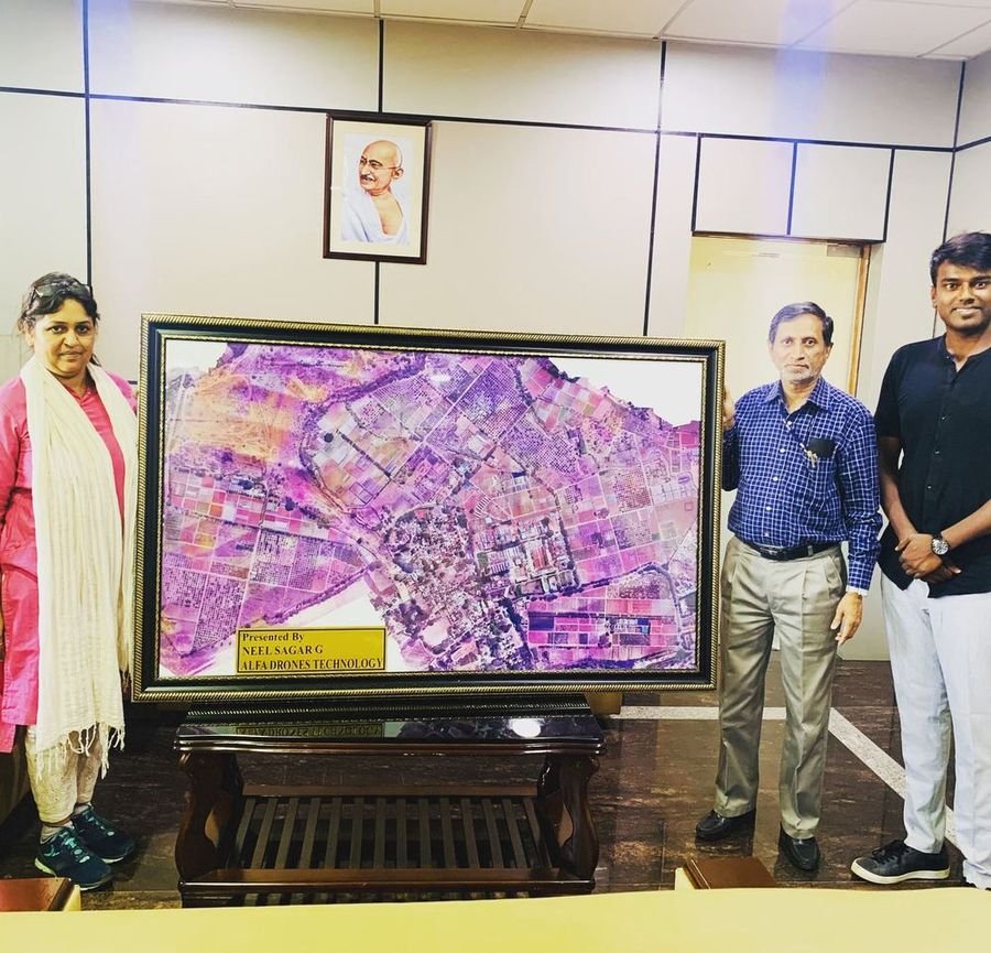
Company profile, technical capability statements, equipment lists, accuracy methodology and sample deliverables are available from the Knowledge Hub for tender and empanelment submissions.
Why Alfa Drones
We are judged on whether the number we hand over survives scrutiny. Everything below exists to make sure it does.
Enterprise-class airframes, payloads and ground control — specified for the job rather than whatever is in stock. We are an authorised DJI enterprise dealer and fly the same platforms we supply.
LiDAR, radiometric thermal, multispectral and full-frame photogrammetry, each calibrated and matched to the accuracy class the deliverable requires.
Crews led by a surveyor, not a pilot with a camera. Control networks, adjustment and quality assurance are handled by people who understand what the data is for.
Every deliverable ships with a written accuracy statement and its control record, so your engineers can check our work rather than take it on trust.
Aircraft, crews and permissions are managed in-house across five countries, so mobilisation does not wait on a subcontractor.
Site reconnaissance through to the final model, or the equipment and training to do it yourself. One accountable party either way.
Who we have worked for
Only work that can be evidenced from published reporting or documentation appears here. Where a client's name is used, it is because the engagement is already a matter of public record.
Engaged by the civic body to disinfect markets, bus stands and railway stations across Bengaluru during the COVID-19 lockdown. Six hexacopters carrying 15 litres each, flown to a daily BBMP schedule.
Source · Bangalore Mirror front page, 30 Mar 2020; The Indian Express, 24 Mar 2020Engaged for aerial pesticide spraying operations. The prior record on this work is what led to the company being asked to carry out the civic disinfection programme.
Source · Bangalore Mirror, 30 Mar 2020, quoting the founderDevelopment partner for the spraying airframes used in the civic and agricultural programmes. Aircraft were designed and built with their assistance.
Source · Bangalore Mirror, 30 Mar 2020; republished by FSID, IIScDelivered a one-week VTU TEQIP-sponsored faculty development programme, Advanced Survey Using Total Station and Drone, with the Department of Civil Engineering, Vijayapur.
Source · Programme documentation and event recordOrganisations we have worked with across survey, inspection and infrastructure technology.
Client names and marks are shown with permission. Each organisation above is named because it agreed to be. The engagements at the top of this section carry a published source; the roster states each organisation’s own field of work. Scope and dates per client are issued on request as part of a pre-qualification pack, or added here as clients approve the wording.
Projects & case studies
Selected work across corridors, civic mapping, power infrastructure and coastal waters. Open any project for the challenge, the method, the equipment and what was handed over.
Operations
Headquartered in Bengaluru, operating across India, Sri Lanka, Somalia, the UAE and the Netherlands. Drag the globe to turn it, or pick a location for the programme running there.
Industries
The same capture and processing chain answers a different question in every sector. Select an industry to see which divisions it draws on.
Achievements
From the first drone survey flights to a seven-division technology company. Every entry here is editable from the content system.
Alfa Knowledge Hub
Company profile, technical brochures, case studies and reports. Open documents download directly; restricted documents are released on request for tender and enterprise evaluation.
Awards and academic work are listed only where they can be evidenced.
Certificate of recognition presented to Neel Sagar, Alfa Drones Technology, in the Innovative Drone Manufacturer category.
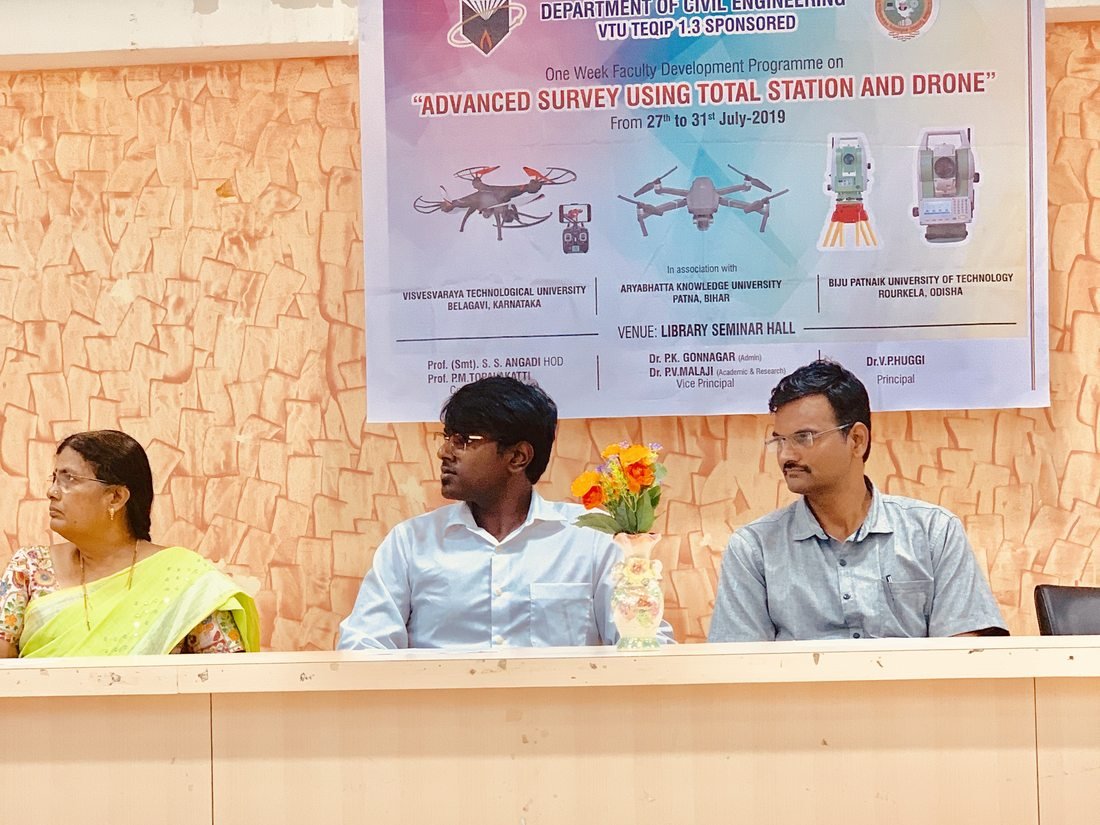
One-week VTU TEQIP-sponsored programme delivered with the Department of Civil Engineering, Dr. P. G. Halakatti College of Engineering & Technology, Vijayapur.
Independent reporting on our civic drone operations in Bengaluru. Headlines and images remain the property of the publishers; follow the links to read the originals.
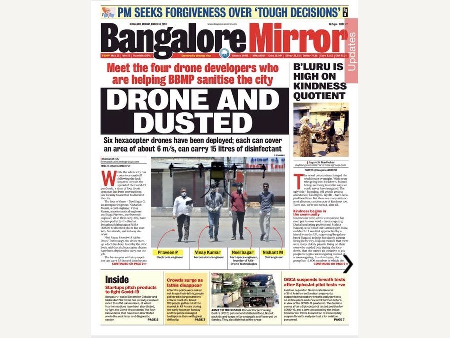
Front-page report on the BBMP drone sanitisation programme. Six hexacopters, each carrying 15 litres of disinfectant, working a daily civic schedule across markets, bus stands and railway stations. The paper names the four engineers involved: Praveen P (electronics), Vinay Kumar (aeronautical), Neel Sagar (aerospace, founder) and Nishant Sn (civil).
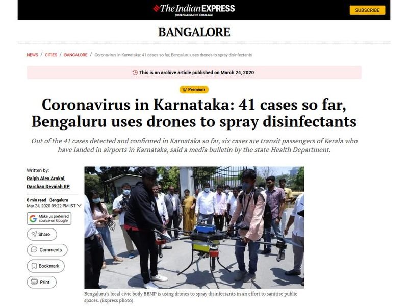
Coverage of the BBMP drone sanitisation programme across Bengaluru public spaces during the early weeks of the pandemic response.
About Alfa Drones
ALFA DRONES operates at the convergence of advanced sensing, aerial systems, geospatial science, marine exploration and artificial intelligence. Our mission is to transform complex physical environments into actionable digital intelligence.
From large-scale infrastructure and cities to power networks and underwater ecosystems, we deploy advanced technology to capture, analyse and understand the world around us. What began as drone survey and mapping work in the field is now organised as seven divisions, sharing the same crews, instruments and quality discipline.
= Intelligent decision making
Leadership
Alfa Drones was founded and is run by an engineer who still flies the missions. Technical decisions here are made by someone who has stood on the site, not only read the report.

Chief Executive Officer & Founder · Bengaluru
Three disciplines sit behind Alfa Drones, and Neel Sagar holds all three. Aerospace engineering explains how the aircraft stays in the air and what a payload does to its flight envelope. A doctorate in artificial intelligence and analysis explains what happens to the data after it lands — classification, change detection, and the difference between an image and a measurement. The MBA is why the company is structured as seven divisions with clear ownership rather than a survey shop that grew by accident.
He founded Alfa Drones in Bengaluru in 2018 and built it from field survey work into an authorised DJI enterprise dealership and a seven-division technology company operating across five countries. He remains closely involved in method: control networks, accuracy classes and the question of whether a deliverable can actually be signed off by the engineer receiving it.
The aerospace background came before the company. Aircraft are treated here as instrument carriers — the deliverable is the measurement, not the flight.
The AI research is not decorative. Change detection, anomaly grading and classification over the company's own archive come directly out of it.
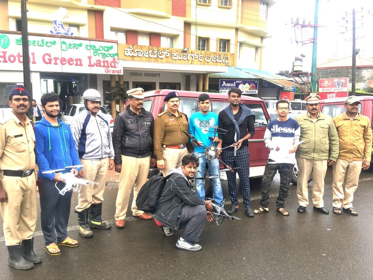
In March 2020 he led the team engaged by the BBMP to disinfect Bengaluru’s markets, bus stands and railway stations during the lockdown — six hexacopters carrying 15 litres each, flown to a civic schedule. Reported by Bangalore Mirror and The Indian Express.
Opened the marine division and the Sri Lanka coral reef survey and restoration monitoring programme, extending the same coordinate framework from the shoreline down.
As an authorised DJI dealer he has overseen the supply, configuration and support of more than 1,000 enterprise drones.
Deliverables are shaped around what government and utility engineers can actually accept — accuracy reports, control statements and departmental formats.
Founded in Bengaluru in 2018, Alfa Drones is run by a small senior group who each own a part of the chain — the money, the fleet and the technology — so no decision waits on a committee.
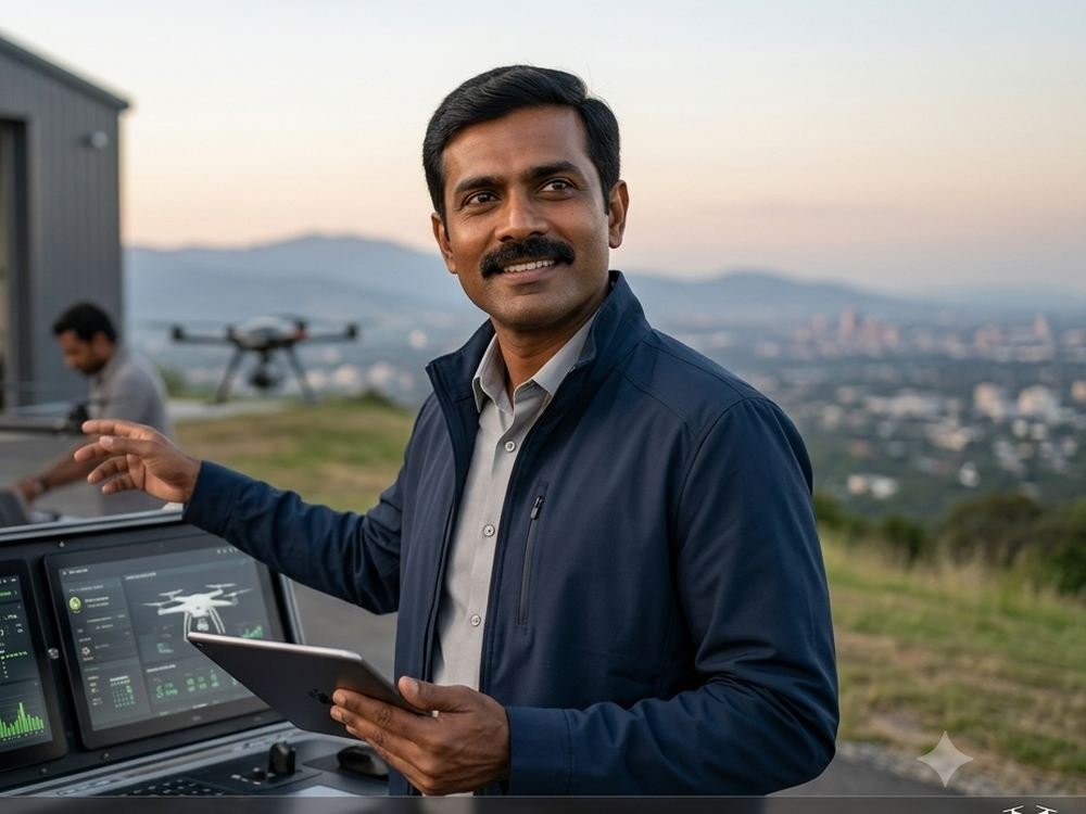
Owns the processing chain end to end — control networks, adjustment, classification and the accuracy statement that goes out with every deliverable. If a client disputes a number, it is his workflow that has to answer for it.
He leads payload integration and calibration across the fleet, and the software side of the digital twin and AI divisions, where the company's own archive is turned into change detection and anomaly grading.

Runs the aircraft, the crews and the movement of both. Mobilisation planning, airspace and permission handling, and the logistics of getting instruments to sites across five countries sit with him.
He also runs the fleet itself — airworthiness, maintenance cycles, spares and battery inventory — which is what keeps a survey window from being lost to a grounded aircraft.
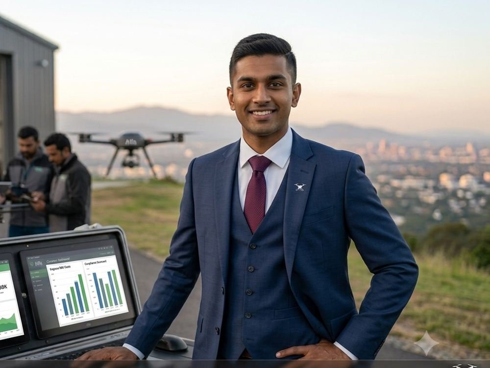
Handles the commercial side of a business that both sells hardware and delivers services — project costing, fleet capital, and the working capital cycle behind holding DJI enterprise stock.
He owns tender compliance and pre-qualification: the financial statements, turnover certificates and documentation that government and utility procurement ask for before a bid is even read.
Contact
Tell us the site, the environment and the decision you need to make. We will come back with a method, an accuracy expectation and a deliverable list.
India
12.9716 N · 77.5946 E
Capability statements, past performance records and equipment schedules are issued on department letterhead request.
Alfa Drones · Advanced Intelligence Systems
We combine advanced aerial systems, geospatial technology, marine intelligence, robotics and artificial intelligence to understand, model and transform the physical world.
Start a projectLegal
Short, plain versions of how we handle your information and the basis on which we work. The full documents are available in Privacy Policy and Terms & Conditions. Both should be reviewed by your legal adviser before you rely on them.
What we collect. Only what you type into the enquiry form on this site: your name, organisation, email, phone number, location and message. This site sets no advertising or tracking cookies.
Why we hold it. To reply to your enquiry and, if it becomes a project, to carry out that work. We do not sell your details or pass them to anyone for marketing.
Who can see it. Our own staff, and the form service that delivers the message to our inbox. Nobody else.
How long we keep it. Enquiries that do not become projects are deleted once they are clearly closed. Project correspondence is retained for as long as the contract and our record-keeping obligations require.
Survey data. Data captured on a client site belongs to that client and is handled under the project contract, not this notice.
Your rights. Write to alfadronestechnology@gmail.com to ask what we hold about you, to have it corrected, or to have it deleted.
This website. The content here describes our capabilities and is provided for information. Specifications, figures and availability may change, and nothing on this page forms a contract or an offer.
Quotations. Prices, lead times and configurations are confirmed in a written quotation. Anything shown on this site is indicative until we have quoted for your specific requirement.
Third-party products. DJI product names, specifications and imagery belong to SZ DJI Technology Co., Ltd. We reference them as an authorised dealer. Published specifications are DJI's and are given for comparison.
Flight operations. All flights are subject to airspace approvals and the civil aviation rules of the country concerned. We do not undertake work that cannot be flown lawfully.
Accuracy of deliverables. Every survey deliverable is issued with a stated accuracy class and the method used to achieve it. Accuracy claims apply only to that stated method and control.
Governing law. Work contracted with Alfa Drones is governed by the laws of India, with jurisdiction in Bengaluru, Karnataka, unless a signed contract states otherwise.