Discover the Future of Surveys with Alfa Drones
Experience the power of precision instruments and cutting-edge technology in industries like construction, agriculture, and environmental monitoring. Join us as we transform data collection into a strategic advantage.
1/1/20253 min read
At Alfa Drones, we believe in engineering possibilities. Our drones are more than just airborne machines; they are the future of surveys. From 3D mapping to LiDAR technology, we specialize in seamlessly integrating cutting-edge solutions into industries such as construction, agriculture, and environmental monitoring. Join us as we shape the future of data collection and unlock new opportunities for growth.
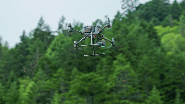
It’s ready for work as soon as it’s powered on and can collect both geospatial and RGB data from a 2.5km2 area in a single flight.
By combining GNSS and a high-accuracy self-developed IMU, this solution achieves 4cm vertical accuracy and 5cm horizontal accuracy.
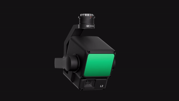

Two Scanning Modes
L2 supports two scanning modes, offering flexibility for users based on their task demands. In repetitive scanning mode, L2's LiDAR can achieve more uniform and accurate point clouds while meeting high-precision mapping requirements. In non-repetitive scanning mode, it offers deeper penetration for more structural information, making it suitable for power line inspection, forestry surveying, and other scenarios.
High-Accuracy IMU System
The high-accuracy self-developed IMU system, combined with the drone’s RTK positioning system for data fusion during post-processing, gives L2 access to highly accurate absolute position, speed, and attitude information. In addition, the IMU system’s enhanced environmental adaptability improves the operational reliability and precision of L2.
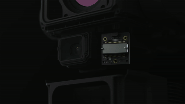
The performance of the IMU system has been significantly enhanced, and it is ready for use the moment it's powered on. And, the accompanying drone is ready to begin tasks immediately once the RTK is in FIX status, delivering an optimized in-the-field experience.

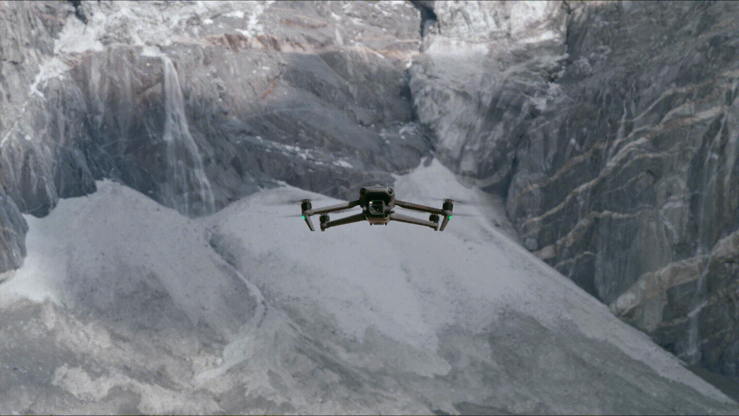
Your Everyday Commercial Drone
DJI MAVIC 3 ENTERPRISE
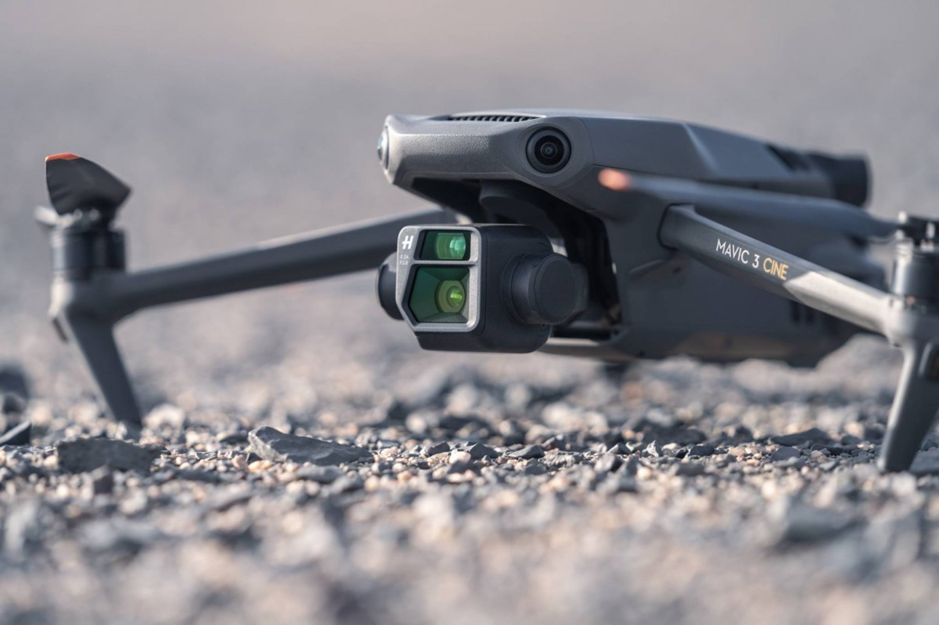
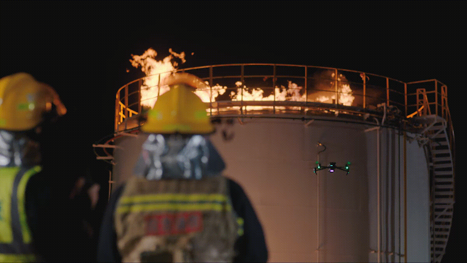
The Mavic 3 Enterprise Series redefines industry standards for small commercial drones. With a mechanical shutter, a 56× zoom camera, and an RTK module for centimeter-level precision, the Mavic 3E brings mapping and mission efficiency to new heights. A thermal version is available for firefighting, search and rescue, inspection, and night operations.
Streamlined and compact, Mavic 3 Enterprise Series can be carried in one hand and deployed at a moment's notice. Perfect for beginner and veteran pilots alike, it's built to perform on lengthy missions.
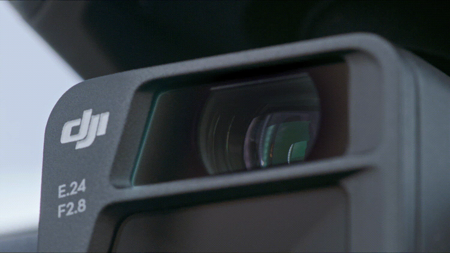
Premium Camera Performance
Mavic 3E's wide-angle 4/3 CMOS, 20MP sensor has a mechanical shutter to prevent motion blur and supports rapid 0.7-second interval shooting. Complete mapping missions with extraordinary efficiency without the need for Ground Control Points.
Mavic 3E's Wide camera has large 3.3μm pixels that, together with intelligent low-light mode, offer significantly improved performance in dim conditions.
Both Mavic 3E and Mavic 3T are equipped with a 12MP Zoom Camera, supporting up to 56× Max Hybrid Zoom to see essential details from afar.
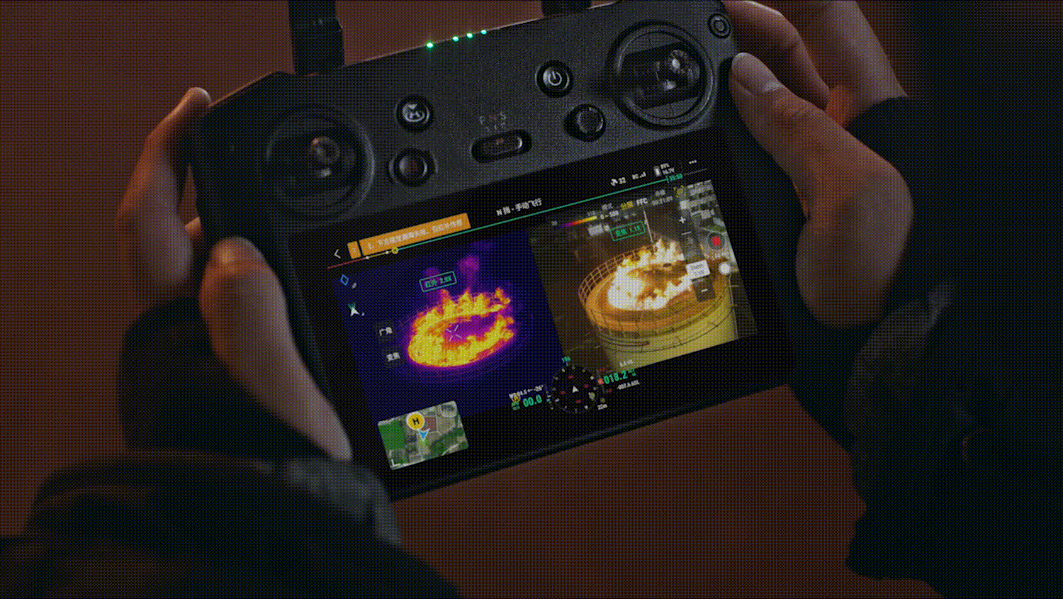
Mavic 3T's thermal camera has 640 × 512 resolution and supports point and area temperature measurement, high temperature alerts, color palettes, and isotherms to help you find your targets and make quick decisions
Mavic 3T's thermal and zoom cameras support 28× continuous side-by-side zoom for easy comparisons.
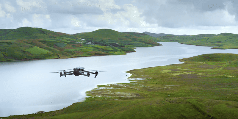
45-min flight durations let you cover more ground each mission, for surveying of up to 2 square kilometers in a single flight...
Fast charge batteries with 100W charging hub, or directly charge the drone with 88W fast charging.
Quad-antenna O3 Enterprise Transmission enables more stable connections in a wide variety of complex environments.
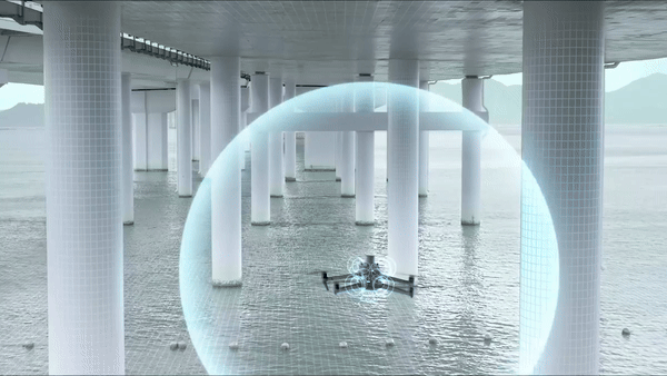
Equipped with wide-angle lenses on all sides for omnidirectional obstacle avoidance with zero blind spots. Adjust proximity alarms and braking distance depending on mission requirements

Advanced RTH automatically plans the optimal route home, saving power, time, and hassle.
APAS 5.0 enables automatic rerouting around obstacles, so you can fly with peace of mind.